Locations
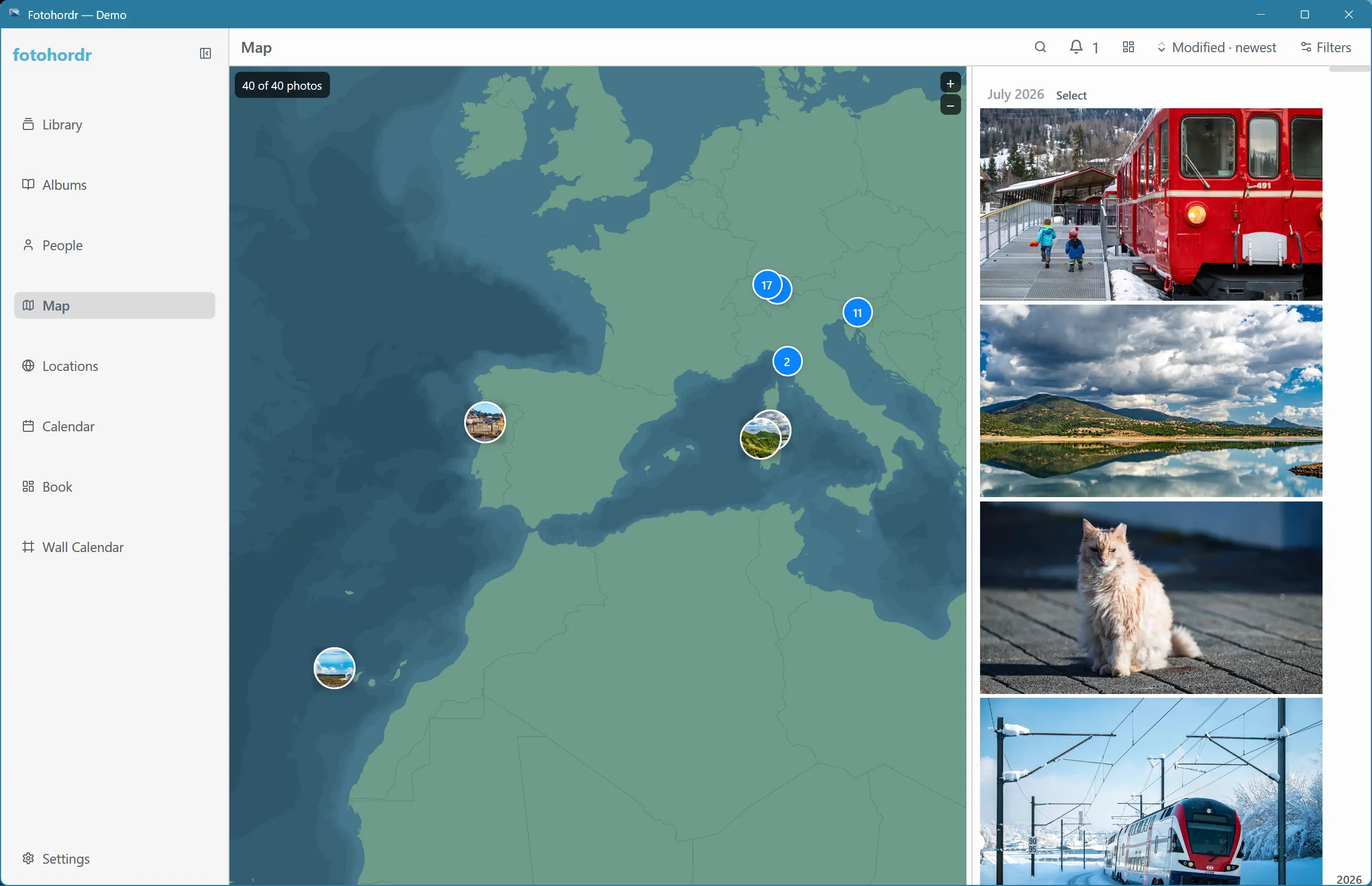
Photos with GPS data show up on the Map, which fits to your library’s photos on first open:
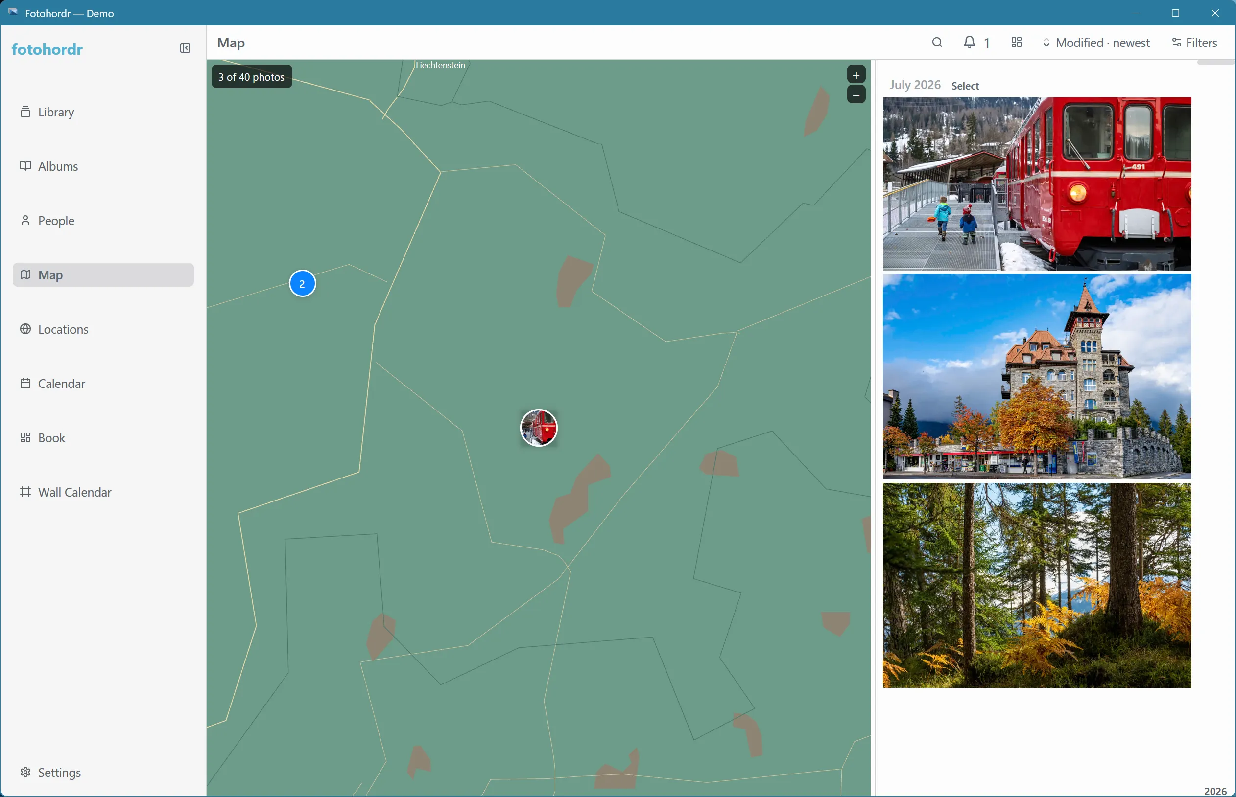
Zooming in on a cluster breaks it apart into individual, precisely placed markers:
Reverse geocoding, fully offline
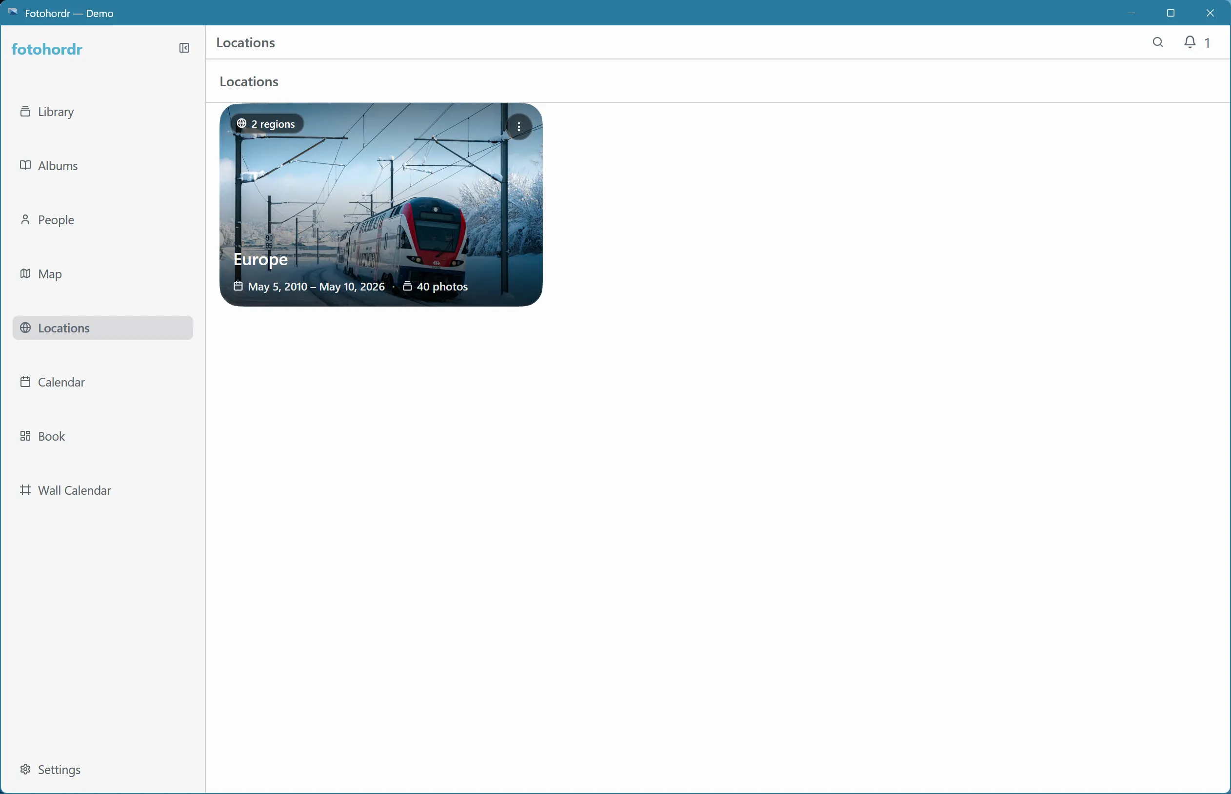
Section titled “Reverse geocoding, fully offline”Every GPS coordinate is resolved to a place name (continent, country, state, city, and more) using data baked into the app — no network request or third-party geocoding service is involved. This also powers the Locations page: a drill-down browse from continent down to city.
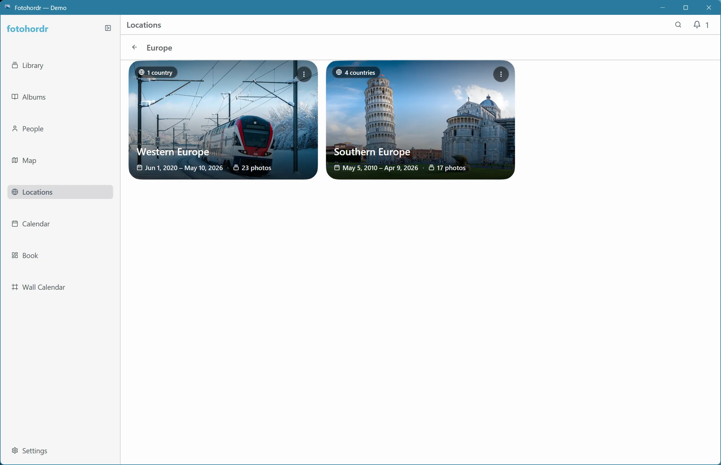
Selecting a place drills one tier deeper:
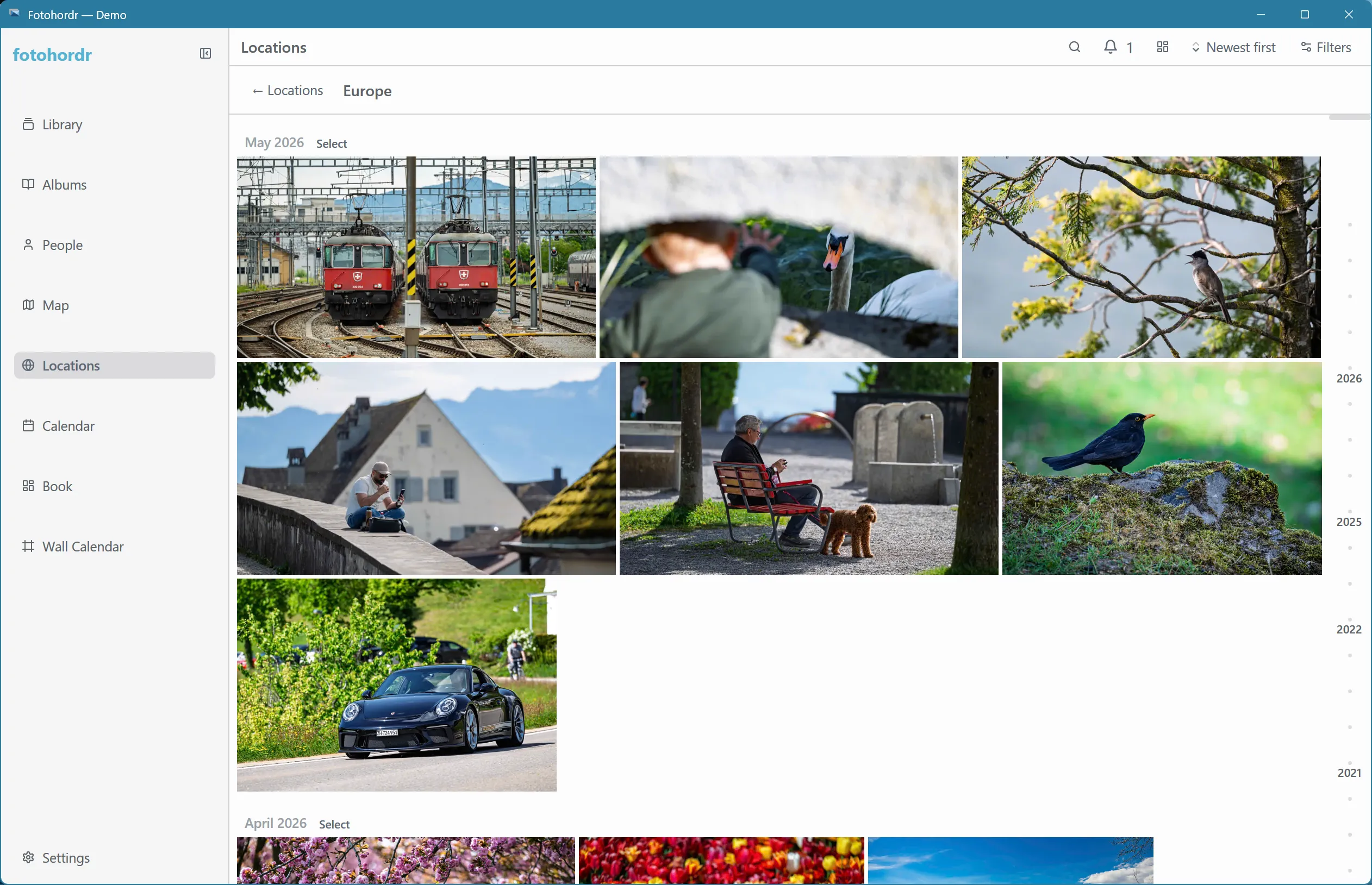
And “show all photos” at any tier opens the usual photo grid, scoped to that place:
Location data is also available as a filter in Search (continent, country, state, and city are all part of the query vocabulary).